China conducting oceanographic surveys for undersea surveillance
Source: interestingengineering
Author: @IntEngineering
Published: 3/25/2026
To read the full content, please visit the original article.
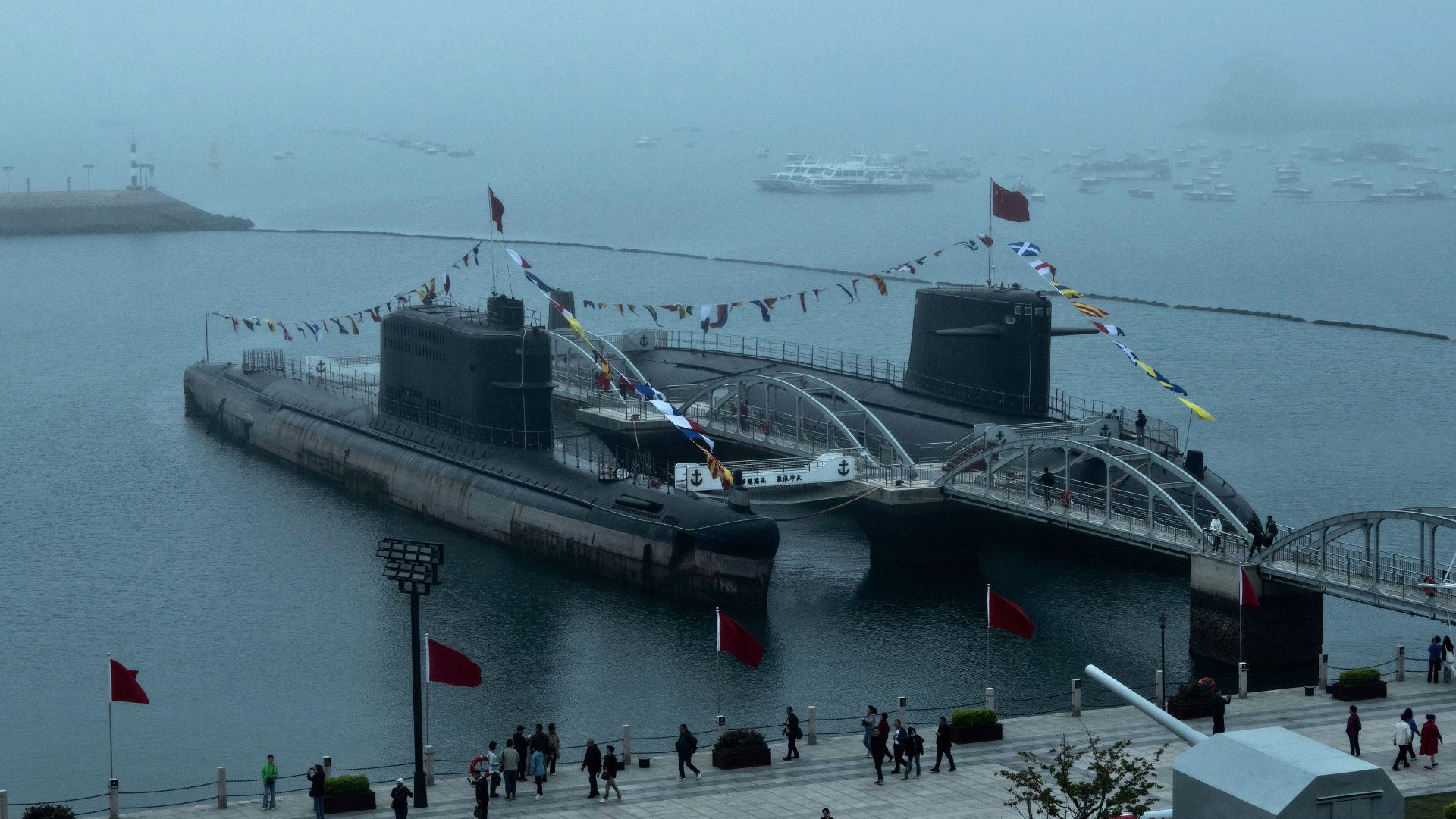
Read original articleChina has embarked on a large-scale oceanographic survey campaign across the Pacific, Indian, and Arctic oceans, aiming to map the seabed and monitor underwater environmental conditions. Officially framed as scientific research on climate, fisheries, and seabed resources, these missions involve dozens of research vessels conducting detailed seabed mapping in strategically significant maritime areas such as around Taiwan, Guam, the Philippines, and the Malacca Strait. Naval experts highlight that the collected data—covering underwater terrain, temperature, salinity, pressure, and currents—is critical for submarine warfare, as it influences sonar performance, navigation, concealment, and the ability to track adversaries.
The campaign includes vessels like the Dong Fang Hong 3, operated by Ocean University of China, which has conducted extensive surveys near key maritime chokepoints and inspected underwater sensor arrays near Japan. Analysts note that many vessels operate in grid-like patterns typical of seabed mapping, with at least eight confirmed to conduct such mapping and another ten equipped for it. This
Tags
IoTunderwater-sensorsoceanographic-surveyssubmarine-warfareseabed-mappingmaritime-surveillancenaval-technology