I developed an app that uses drone footage to track plastic litter on beaches - Robohub
Source: robohub
Published: 2/26/2026
To read the full content, please visit the original article.
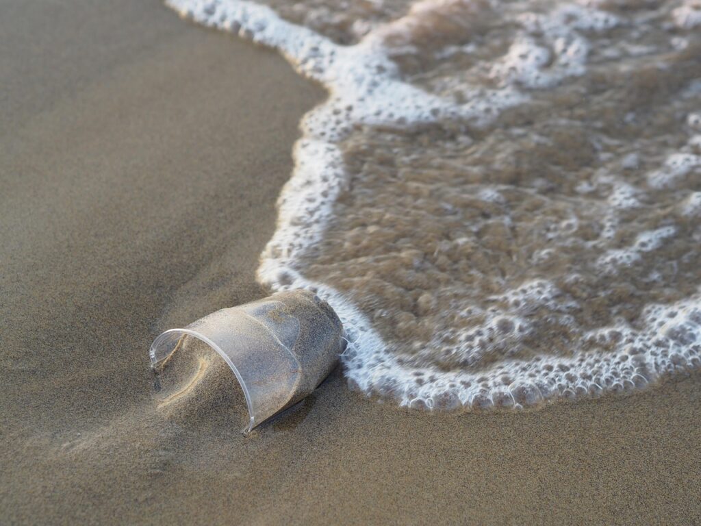
Read original articleGerard Dooly from the University of Limerick developed an innovative app that leverages drone footage and machine-learning algorithms to detect and map plastic litter on beaches. Motivated by his personal experience with plastic pollution along Ireland’s coast, Dooly’s team combined aerial drone surveillance with computer vision technology to identify plastic debris as small as 1cm from altitudes of 30 meters. The system overcomes challenges such as distinguishing plastic from natural objects like seaweed and driftwood, and has been refined through extensive field testing across various Irish coastlines under different environmental conditions.
Ireland faces a significant plastic pollution problem, with its extensive coastline and marine life heavily impacted by plastic ingestion. The app provides precise GPS coordinates of detected plastic hotspots, enabling community groups, schools, and individuals to target clean-up efforts more effectively. It accepts drone footage from any user and processes it on standard laptops, with a free mobile app available on iOS and Android that displays an interactive map of plastic locations. Tested with
Tags
roboticsdronesmachine-learningenvironmental-monitoringplastic-pollutionmarine-roboticscomputer-vision