World's buildings mapped for the first time in high-resolution 3D map
Source: interestingengineering
Author: @IntEngineering
Published: 12/2/2025
To read the full content, please visit the original article.
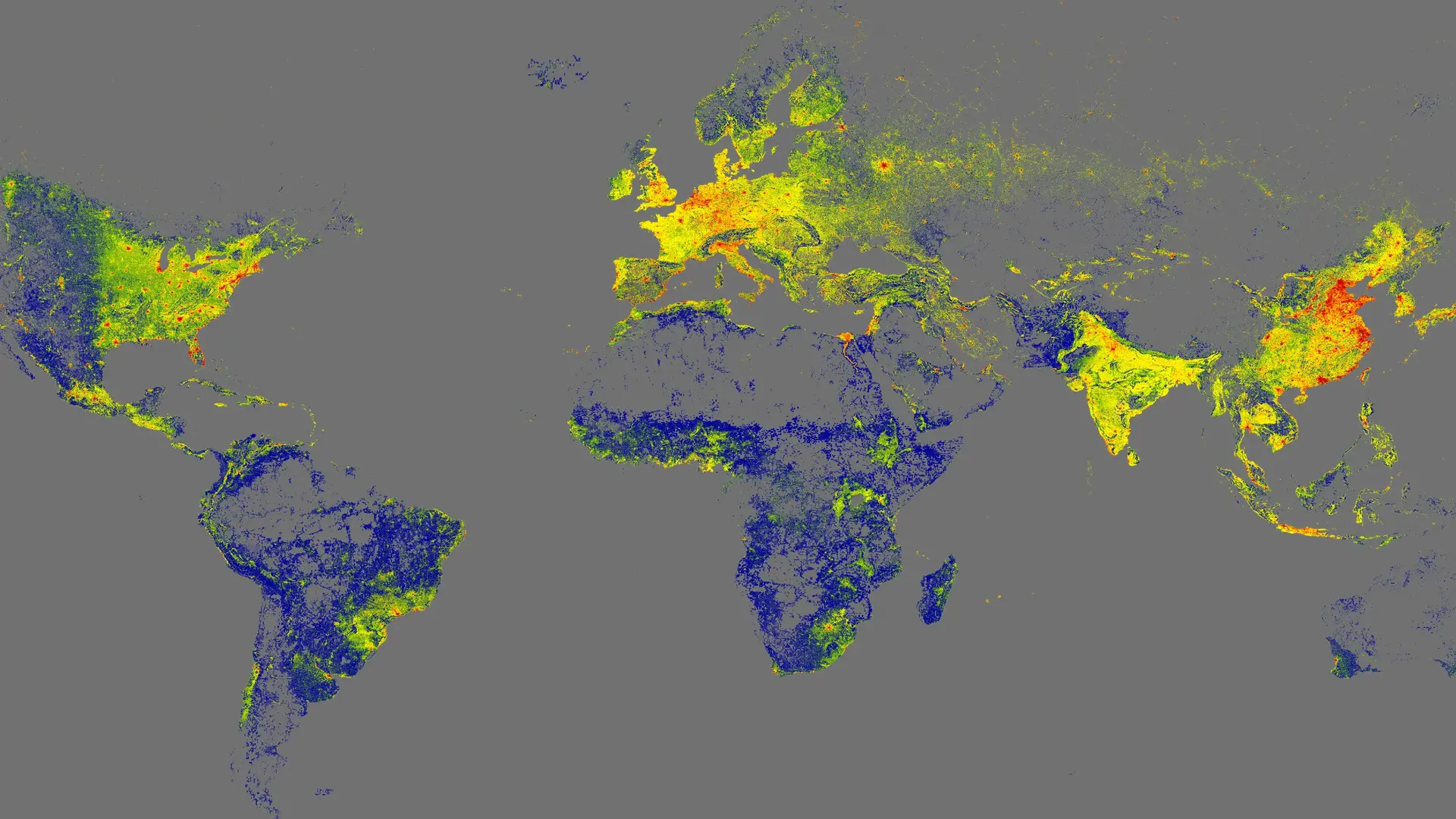
Read original articleScientists at the Technical University of Munich (TUM) have created the GlobalBuildingAtlas, the first comprehensive high-resolution 3D digital map of the world’s man-made environment, encompassing 2.75 billion buildings. This dataset, developed using 2019 satellite imagery and funded by the ERC Starting Grant, offers a resolution 30 times finer than previous global maps, with each building modeled at a 3-by-3 meter scale. Approximately 97% of the buildings are represented as Level of Detail 1 (LoD1) models, providing simplified yet sufficiently detailed three-dimensional geometry suitable for urban structure analysis, volume calculations, and infrastructure planning.
Unlike earlier datasets that focused mainly on affluent urban areas, this new map includes broad coverage of historically underrepresented regions such as Africa, South America, Southeast Asia, and rural zones worldwide. The 3D data enables more accurate assessments of urbanization and poverty by capturing building volume, not just footprints, leading to better insights into living conditions. A
Tags
energyurban-planning3D-mappingsatellite-imageryclimate-adaptationsustainable-developmentinfrastructure-planning